
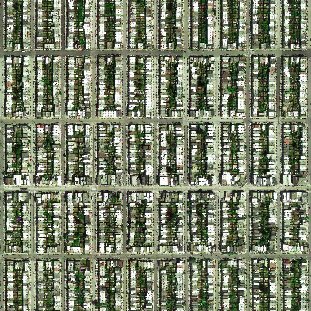
Sunset District, San Francisco, USA
https://goo.gl/maps/CEy2eLmf3VH2
.
.
The Sunset District is the largest district within the city and county of San Francisco, and with a population of over 85,000 it is also the most populous. Golden Gate Park forms the neighborhood’s northern border, and the Pacific Ocean (or, more specifically, the long, flat strand of beach known as Ocean Beach) forms its western border. The Sunset District’s southern and eastern borders are not as clearly defined, but there is a general consensus that the neighborhood extends no farther south than Sigmund Stern Grove and Sloat Boulevard and no farther east than Stanyan Street (just east of the Parnassus campus of the University of California, San Francisco) and Laguna Honda Hospital.
.
Prior to the residential and commercial development of the Sunset District, much of the area was covered by sand dunes and was originally referred to by 19th century San Franciscans as the “Outside Lands.”
.
#earthimages #earthimage #upintheair #abovetheclouds #satelliteimage #satelliteimages #EarthOverhead #overview #overvieweffect #sunsetdistrict #sanfrancisco #usa #outsidelands #ucal


