
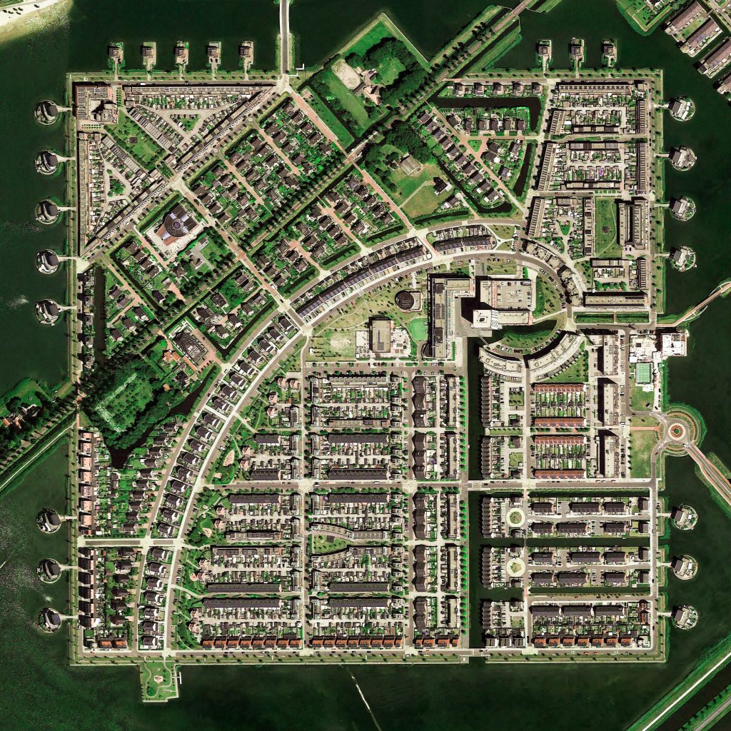
Heerhugowaard, Netherlands
https://goo.gl/maps/JZUmepPpZJF2
.
.
Due to extensive peat farming, a major was created around this area causing severe problems until the 17th century, when a number of private investors decided to drain the lake to create farmland. In 1630 the polder was drained and was 39.0 km², and the land was divided among the initiators. In contrast to (for example) the Beemster, the quality of the new land was very disappointing. In 1674 there was even a serious proposal to refill the polder with water, reasoning that the area would be more profitable as fishing water. However, the town developed and now prospers, despite it being 3 meters below sea level!
.
#earthimages #earthimage #upintheair #abovetheclouds #satelliteimage #satelliteimages #EarthOverhead #overview #overvieweffect #Heerhugowaard #Netherlands #polder #dam #draintheswamp #lake #peat #farm


