
Espel, Netherlands
https://goo.gl/maps/5LVyyUjhVgB2
.
.
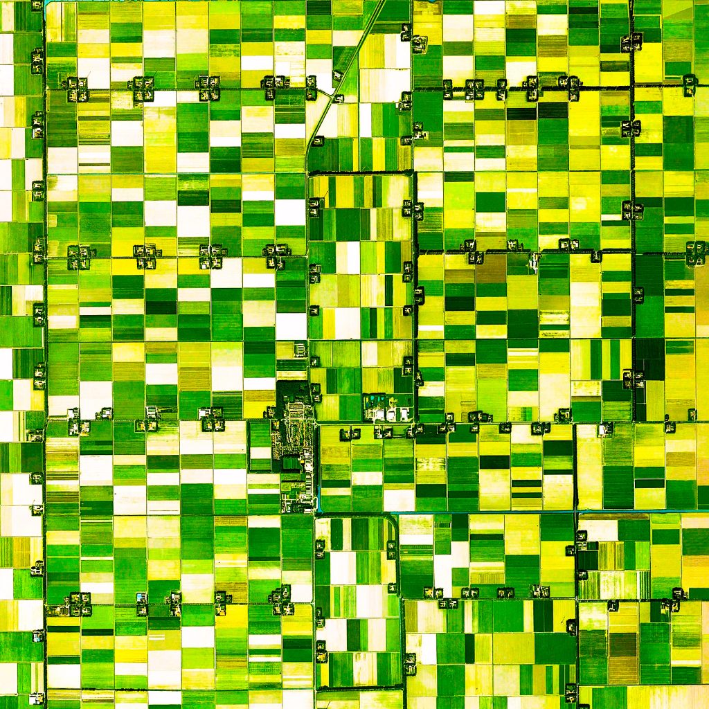
The northeast polder in the Netherlands was drained between 1937 and 1942, creating 125 acres of new land, the centre being Emmeloord. This draining of the sea was called the Zuiderzee project.
.
This land is very fertile and is one of the main global centers for flower growing. This image is of Espel, within this region, where the main output are tulips and tulip bulbs.
.
The images clearly shows each of the farmhouses, equally divided, and their adjoining fields.
.
#earthimages #earthimage #upintheair #abovetheclouds #satelliteimage #satelliteimages #EarthOverhead #espel #netherlands #holland #zuiderzee #tulipfarm #tulips #Emmeloord #polder #rutten


