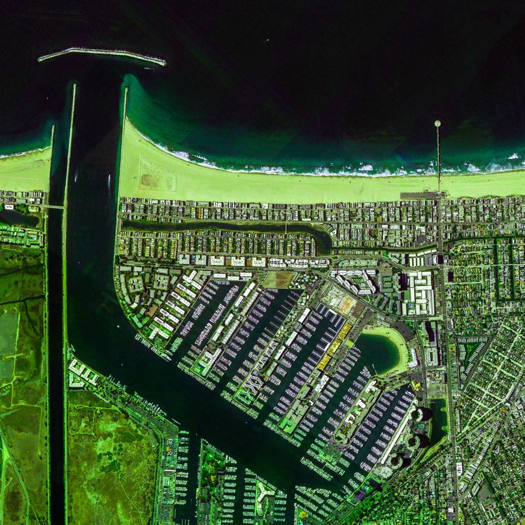
Marina Del Rey, California, USA
https://goo.gl/maps/WLDgXzLFcSH2
.

.
Marina del Rey translates from the Spanish as “Harbor of the King,” and if that seems a tad grandiose consider the following: One of the definitions of king is “best example of its kind.” So, adding a dose of humility, the designation Marina del Rey simply says “this is a pretty darn good harbor.”
.
Centuries removed, the area that is today’s Marina was the mouth of the Los Angeles River. Eventually the river shifted course, south to Long Beach and Los Alamitos Bay, leaving a 2-mile-wide body of water called Del Rey Lagoon. In 1839 the lagoon was, ironically, awarded as a “land” grant by the Mexican government to two pairs of brothers, Ygnacio and Augustin Machado and Felipe and Tomas Talamantes. By the time the project that would create modern Marina del Rey began, the lagoon carried the awkward name of “The Playa del Rey Inlet and Harbor of Venice, California.” Los Angeles County Supervisor Burton Chace, long a champion and developer of the city’s coastline, decided a new, more euphonious appellation was badly needed. By some accounts–and the history is fuzzy here–it was Chace who came up with the Marina del Rey moniker. Whether he did or did not, Burton Chace definitely was its leading advocate.
.
The beach in the image is Venice Beach.
.
Ref: http://www.visitmarinadelrey.com/
.
#earthimages #earthimage #upintheair #abovetheclouds #satelliteimage #satelliteimages #EarthOverhead #overview #overvieweffect #marinadelrey #venicebeach #marina #losangeles #california


